
What is a Feature & Level Survey?
A Feature & Level Survey is often the first point of call for any land development project. They are an essential tool used by homeowners, property developers, engineers, architects, and local council.
Feature & Level Surveys provide a detailed view of the existing site conditions of your property.
These surveys will locate all topographical features of the property, as well as details of adjoining properties and the street.
See below for three ways that Feature & Level Surveys can help you to know and understand your property better.
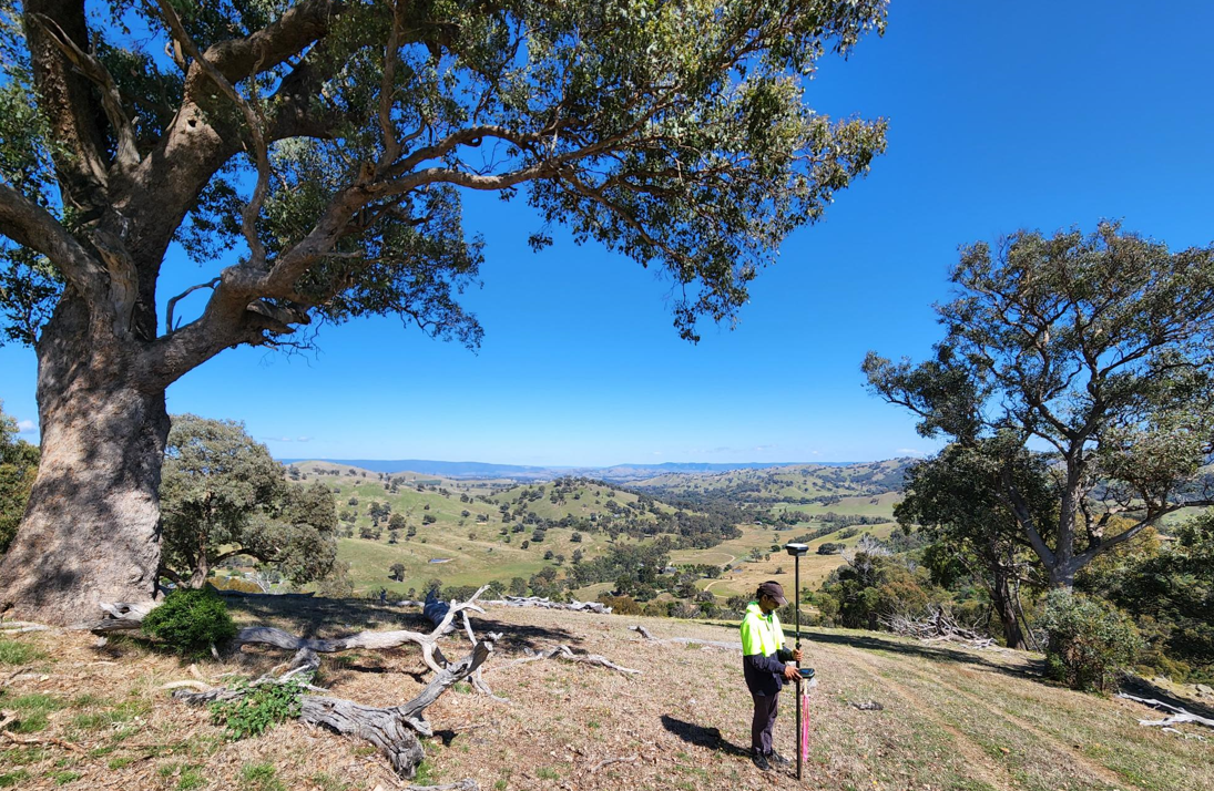
- Suss out your slope!
Feature & Level Surveys are the most effective way to map out the levels and contours of your land.
Why is this helpful?
For any development or new build projects, understanding the slope and levels of the land is crucial to proper design and construction.
In Victoria, many off-the-plan construction companies will only build on land that is level. Understanding your current slope will help you to determine any further costs if you do need to level your land for development.
For customised builds, your architect and builder will need the most accurate data of your property’s contours and levels to ensure their design is functional.
Knowing the slope of your land can also help you address any existing issues on your property. For example, properties with inadequate slope risk water pooling and erosion. Land with effective slope directs excess water away from the foundations of any structure or building.
- Facing up to your features!
Feature & Level Surveys will accurately identify and locate all visible features and services on your property. This can include natural features such as trees, garden beds, waterways, and paths, as well as services like telecommunication, drainage, sewage pits and overhead wires.
If you are developing your property in any way, from the construction of a deck or garden shed to a complete rebuild or new construction, knowing what features already exist on your property is essential for proper planning and design.
Architects and builders will need to account for significant and immovable features in their designs and construction plans. Not accounting for these features at the beginning of your development project can have costly ramifications further down the road.
- Know your neighbours!
It can be easy to overlook the impact of your property development on your neighbours. Similarly, we can also forget that a neighbour’s property can limit our own plans for development.
A Feature & Level Survey will pick up key features of your neighbour’s property, such as the location of directly adjoining and abutting buildings and the location of overlooking windows, including head and sill heights. Your architect will need to take these features into consideration to ensure any new build is firstly, comfortable, and just as importantly, passes council and building regulations. Your architect and builder will also need to determine if any neighbouring overshadowing is created by your new build or project.
Furthermore, did you know that any significant trees that exist on neighbouring properties can also impact your plans? Local councils have established Tree Protection Zone guidelines that are there to ensure there is appropriate above and below ground space for trees to continue to grow. This means that any neighbouring trees (especially those close to your boundary) may have canopies and roots that extend into your property and can impact the potential design area for your project.
Where here to help.
It is important that you understand your property and its key features and levels before you begin any development project. The team at Linear Land Surveying is happy to help you get to know your property better with a Feature & Level Survey.
Give Sam and team at Linear Land Surveying, (Melbourne land surveyors) a call on 9873 8888, or email survey@linearlandsurveying.com.au, for more information and help with your land surveying needs.
The information on this website is intended to be general in nature and is not personalised land development advice. It does not take into account your specific objectives, land development site or financial situation. Before acting on any information, you should consider the appropriateness of the information provided and seek more specific advice from the professional team at Linear Land Surveying.