Employing a land surveyor guarantees accuracy and the licenced documentation of your official titles and plans. This protects against issues that can arise further down the planning track, should third parties object or dispute your development and town planning applications.
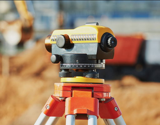
Through the use of advanced measurement equipment including Total Stations and GPS, we as Land Surveyors can provide both our client and Council with definitive boundaries and dwelling locations and heights.
Why do I need guaranteed planning documents?
Councils’ Planning Schemes require that prior to development, a site description and context plan- including a neighbourhood character assessment, be completed.
Previously, an architect or designer may have been able to complete these assessments through the use of a ‘disto’ and tape measure. However, in today’s increasingly urbanised, technological and litigious world, the measurement of house and carport setbacks to the road alignment could be the critical factor in determining if a site can be developed. Therefore it has become more critical for a land surveyor to conduct Site Analysis Surveys and Neighbourhood Context Plans.
As per the general requirements of Clauses 54, 55 & 56 of Councils’ Planning Schemes, a Site Description, Context Plan and/or Neighbourhood Character Assessment need to include, but are not limited to, the following information:
- Additional street details and adjoining buildings/dwellings within 50m either side of the site and across the road if required
- Private open space & roof information of building/dwellings
- Building/dwelling details and vehicle access points along the street
- Fencing types and heights
- Building/dwelling setback information
- Proximity to nearby public open space, community & recreational facilities, schools, local shops & public transport
- Individual house photos
By getting a licensed land surveyor involved, you can be confident in the recognised accuracy of your title and planning documents.

